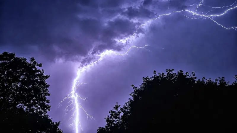
The United Kingdom’s latest heatwave is expected to come to an end on Tuesday, with forecasters warning that thunderstorms, hail and flash flooding could affect parts of the country even as temperatures remain above 30°C in some areas.
According to the BBC, southern and eastern England are expected to experience another day of intense heat, with some locations likely to meet the official heatwave threshold for a fourth consecutive day.
Temperatures could climb as high as 32°C, particularly in parts of eastern England.
The UK Met Office has maintained amber and yellow heat health alerts across much of England until Wednesday morning, urging people to take precautions against the hot weather.
However, a cold front moving southwards across the Midlands and into south-east England is expected to mark the end of the current heatwave.
Despite the change in weather, forecasters say the front is unlikely to bring enough rainfall to ease the severe dry conditions affecting much of the country.
Areas including London, Essex, Kent and Surrey are expected to receive little or no rain, continuing a prolonged period of exceptionally dry weather.
The UK recorded its driest and sunniest July on record, with many parts of the country experiencing significantly below-average rainfall.
Wisley in Surrey has gone 47 consecutive days without measurable rainfall, making it the driest location in the UK.
While southern England remains largely dry, low-pressure systems are expected to bring scattered showers and thunderstorms to Scotland, Northern Ireland and parts of northern England through Tuesday and Wednesday.
The Met Office has issued a yellow thunderstorm warning for parts of Northern Ireland until 9:00 p.m. local time on Tuesday.
Forecasters warn that some areas could receive up to 30 millimetres of rain within one or two hours, accompanied by strong winds and hail.
Authorities say the sudden heavy rainfall could trigger flash flooding because the ground has become extremely dry after weeks of little rain.
The hardened soil is expected to struggle to absorb water quickly, increasing the risk of surface water flooding.
Meteorologists also noted that hail is possible during the strongest storms.
Although it may seem unusual after prolonged hot weather, hail commonly forms during summer when intense heat fuels towering thunderstorm clouds.
Looking ahead, weather models suggest that August is likely to remain warmer and drier than average across much of the UK.
As a result, existing drought conditions are expected to persist, and hosepipe bans affecting more than 20 million people in England and Wales are unlikely to be lifted anytime soon.
Forecasters say further hot spells are possible during August, although the chances of temperatures reaching the upper 30s Celsius will gradually decrease as the sun’s intensity weakens later in the summer.
Nevertheless, temperatures of 30°C or higher could still occur into September.
SOURCE: BBC